ACLED
Armed Conflict Location and Event Data Project (Phase I)

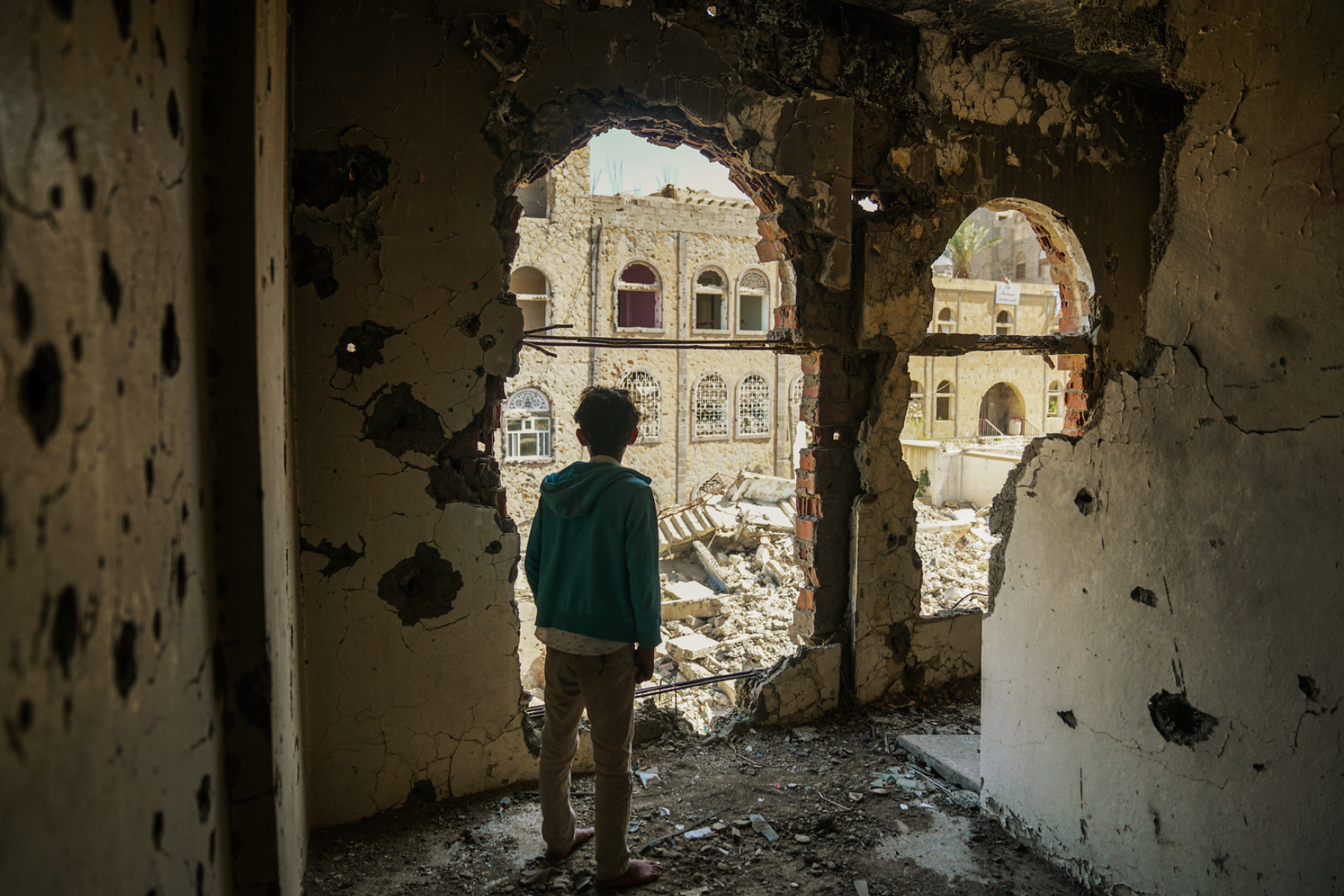
© OCHA | Giles Clarke
ABOUT
The Armed Conflict Location and Event Data Project (ACLED) is the leading source of global real-time conflict data. It powers major early warning and action tools. ACLED collects comprehensive data on the dates, actors, locations, fatalities, and types of all reported political violence and protest events in over 243 countries and territories. Drawing on a broad network of partners and researchers, ACLED provides detailed, accurate, and timely conflict data and analysis that is critical for earlier, faster, and more targeted crisis action.
OBJECTIVES
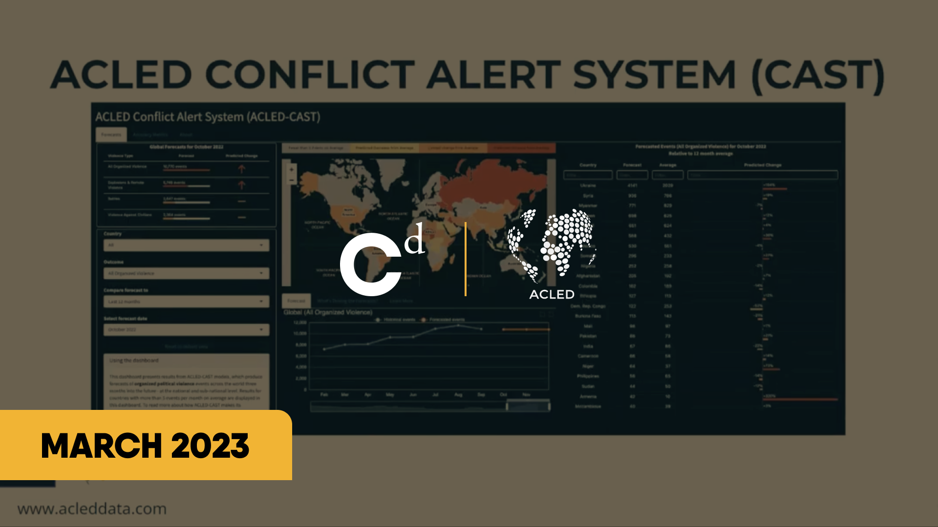
With CRAF’d funding, ACLED produces and provides real-time, geocoded and disaggregated conflict data to more than 40,000 registered users worldwide. The funding also supports analytical tools that help users make sense of this data, including Local Observatories in data-scarce settings, the Conflict Severity Index, and the Conflict Alert System, which forecasts conflict risks up to six months ahead. CRAF’d support also helps ACLED establish local partnerships for data sharing and joint analysis.

With CRAF’d funding, ACLED can chase bold ideas, experiment with new tech, dig into tough problems, and build real solutions while maintaining excellence in our core products.
Prof. Clionadh Raleigh
President and CEO, ACLED
“
UPDATES
-
![]()
WEBSITE REBUILD & USER EXPANSION
ACLED launched a fully rebuilt website in 2025, introducing different levels of data access, dynamic visualizations, improved security, and a unified user platform. The upgrade increased monthly data downloads by 15% and unique downloaders by 17%, strengthening engagement and enabling future innovation.
-
![]()
LOCAL INFORMATION NETWORKS EXPANSION
ACLED established stringer networks in Ethiopia, Somalia, East Nigeria, and West Nigeria, adding 204 events in Nigeria and achieving 50% weekly event increase in Somalia while reducing secondary reporting reliance.
-
![]()
LLM AUTOMATION & WEBSCRAPERS
ACLED advanced its data architecture by integrating AI-assisted tagging and in-house web scrapers, improving coding efficiency and enabling richer, more scalable analysis. These innovations lay the foundation for faster, higher-quality data production and expanded analytical insights.
-
![]()
CONFLICT TREND ANALYZER
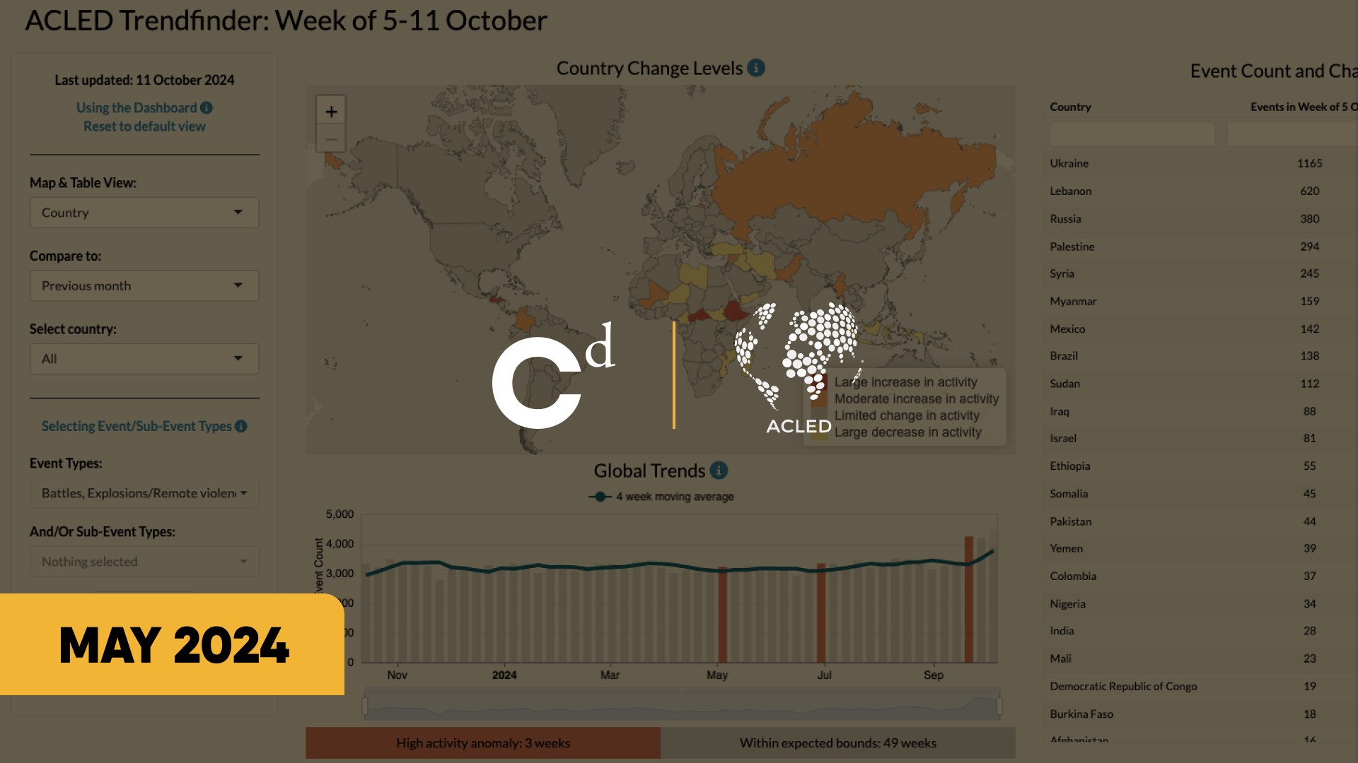
ACLED's new Trendfinder tool tracks political violence and demonstrations worldwide. It helps researchers and analysts identify trends, compare current events to historical norms, and detect early warning signs of new conflict actors.
-
![]()
CONFLICT DATA EXPLORER
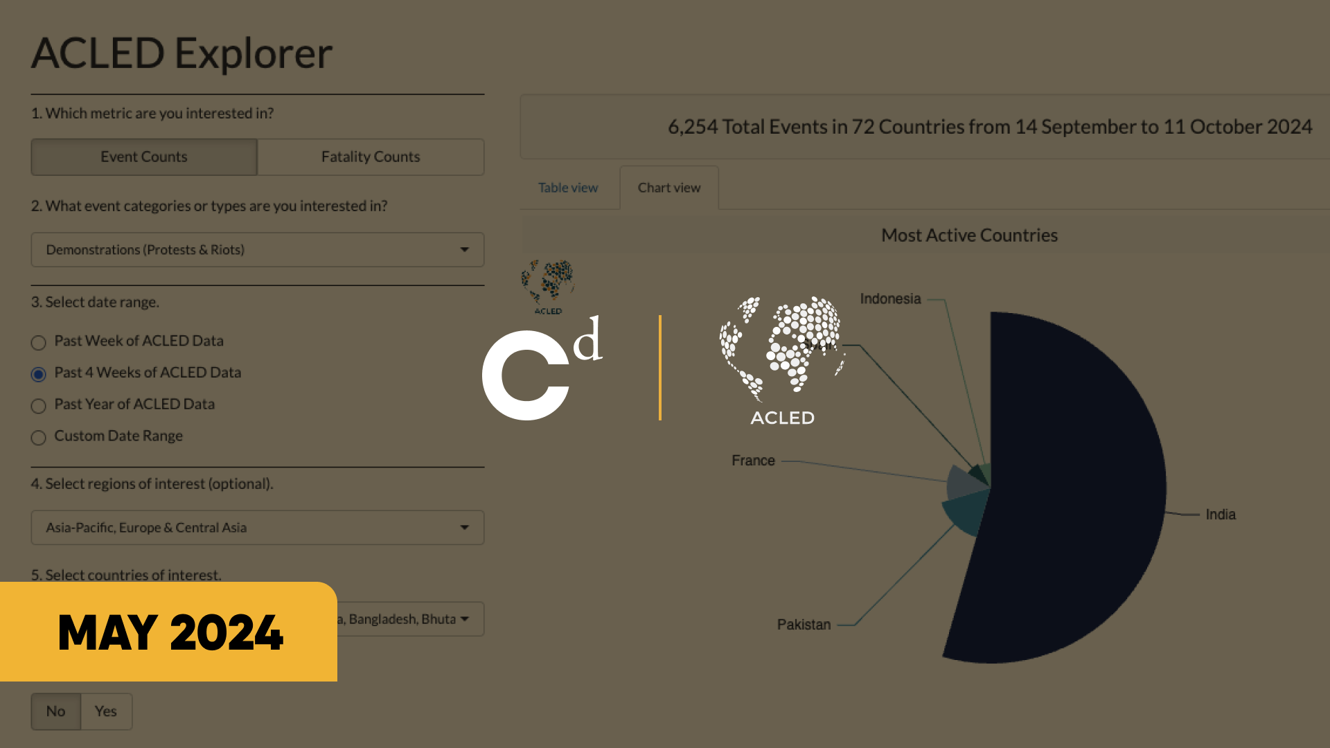
The Conflict Data Explorer tool allows users to filter and summarize data on political violence and demonstrations. Users can create data visualizations to answer questions about event types, actors, locations, and time periods from 2018 to the present.
-
![]()
CONFLICT EXPOSURE
The Conflict Exposure Calculator, developed by ACLED in partnership with WorldPop, measures the impact of conflict on civilians. This tool calculates the number of people impacted by conflict, with customizable filters for location, conflict type, actors, and timeframe.
-
![]()
CONFLICT WATCHLIST
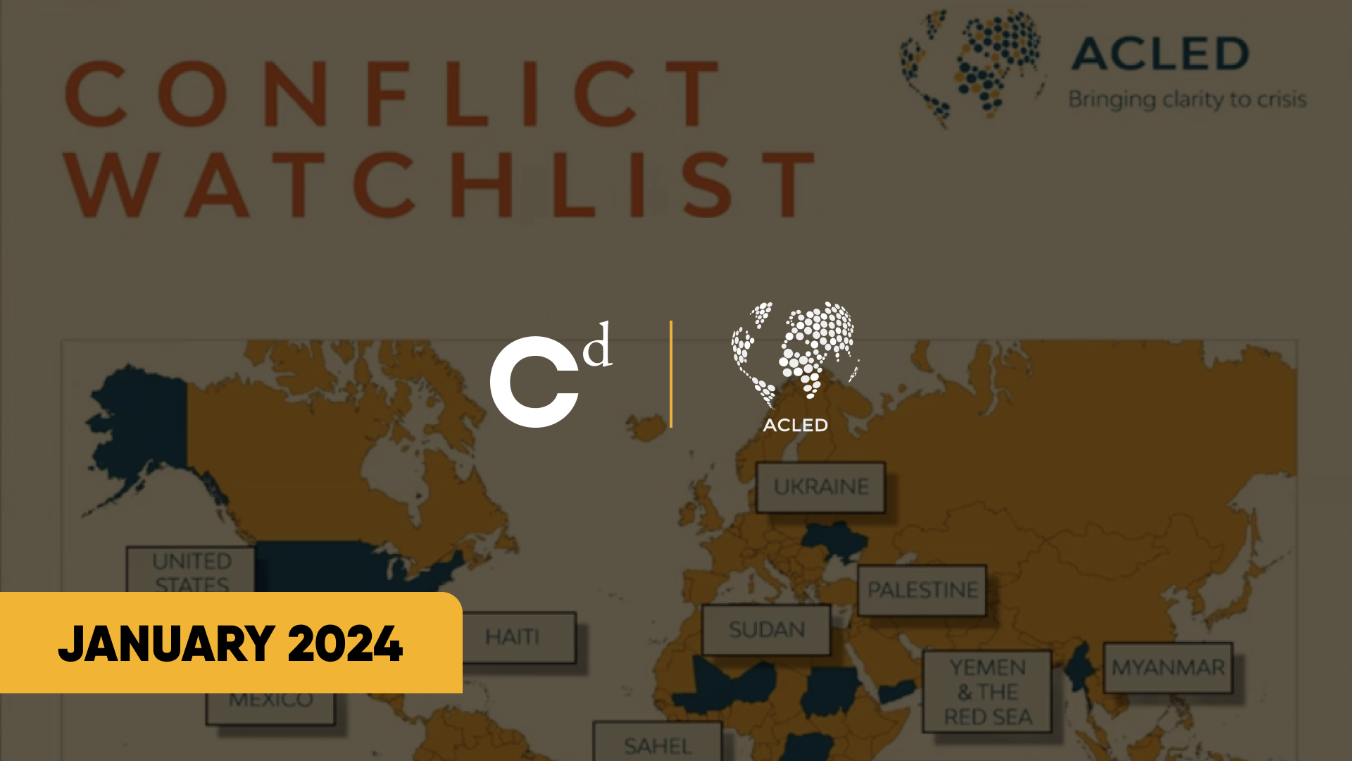
The ACLED 2024 Conflict Watchlist is updated, providing insights into regions at risk of increased violence due to political and regional tensions. It identifies key concerns and potential hotspots to mitigate future conflicts.
-
![]()
DATA FOR PEACE
ACLED contributed to and hosted 4 insightful sessions at the Data for Peace Conference. Follow the thought-provoking discussions on how we can leverage conflict data for better crisis action.
-
![]()
CONFLICT INDEX
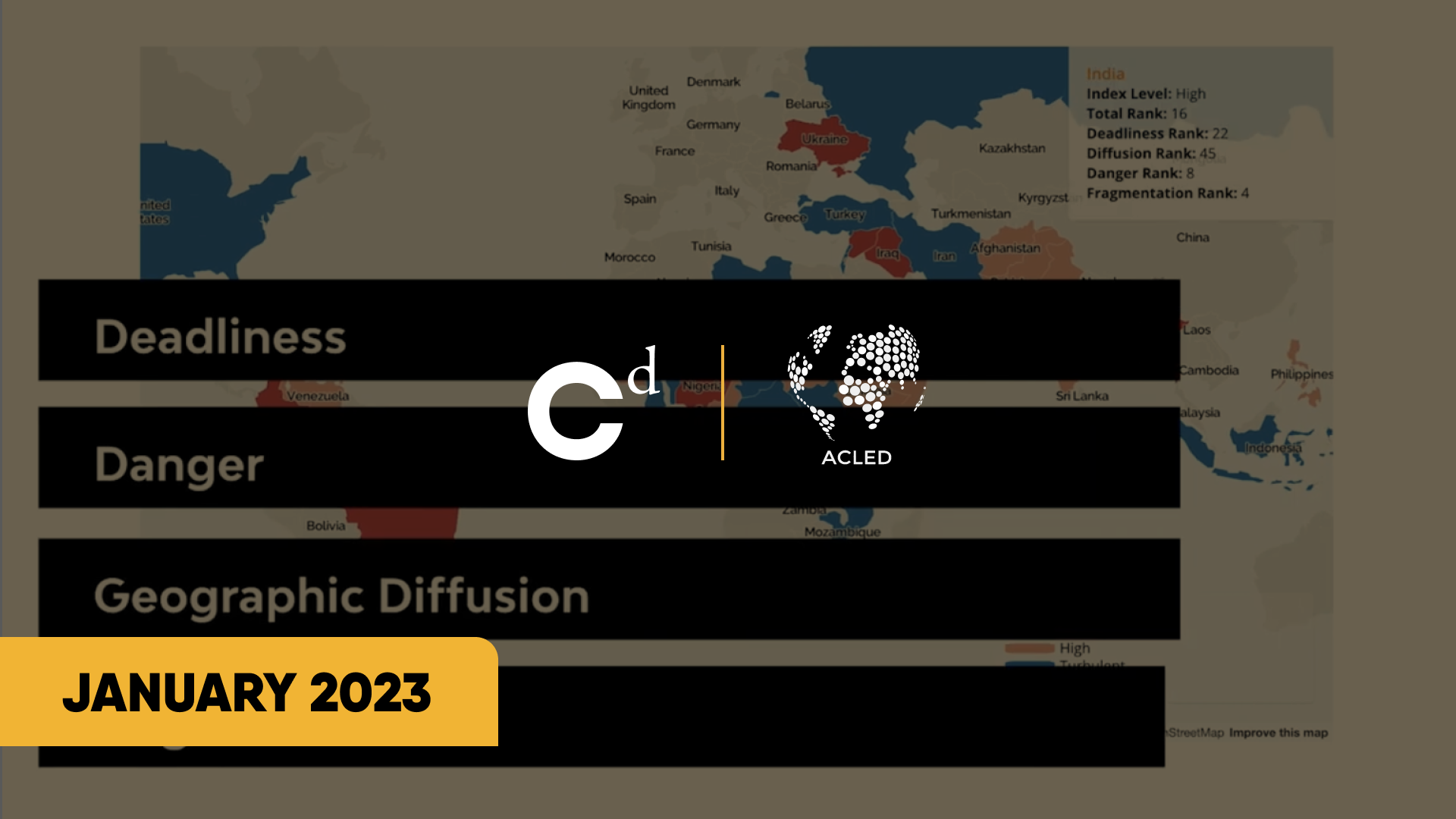
ACLED’s new Conflict Index that measures the complexity of global conflicts. The Index uses four indicators to measure conflict severity: deadliness, danger, diffusion, and fragmentation.
-
![]()
ACLED ON HDX
Thanks to CRAF'd funding, the ACLED core dataset has returned to the Humanitarian Data Exchange (HDX). This collaboration has further simplified access to real-time and geocoded, conflict data for global ecosystem partners.
-
![]()
SWIFT REGISTRATION
Thanks to CRAF'd funding, ACLED remains freely accessible after registration. With an improved and streamlined registration process, users now have even faster access to ACLED conflict data.